The versatility of LiDAR technology
LiDAR is an acronym derived from radar but uses light instead of radio waves. As sensing technology, it can be used to measure distances, create 3D maps and collect information on shape or characteristics of surfaces or objects. LIDAR systems are used in various sectors: autonomous vehicles, meteorology, wind turbines and the list is non-exhaustive.
LiDAR : enhancing wind turbine performance
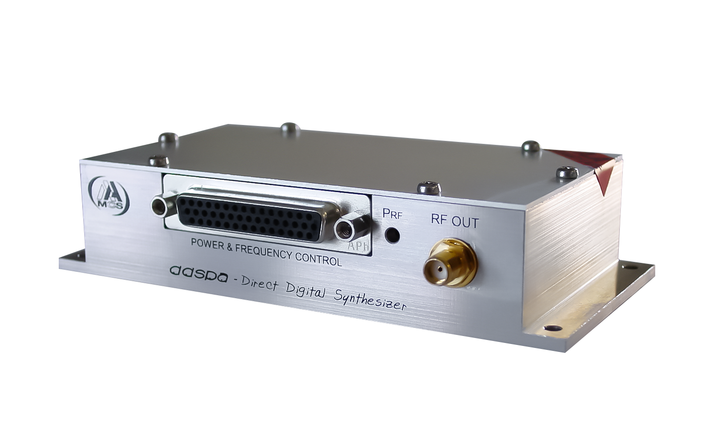
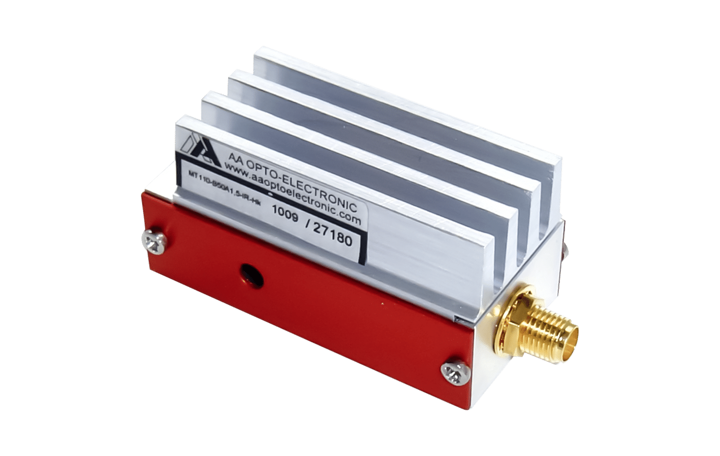
Let’s take wind turbine for instance where the LiDAR’s role is to measure the speed of the wind as well as its direction and transmit the information to the control system allowing the turbine and the blades to adjust appropriately to the weather conditions. Here, the principle of operation is to send light in a certain direction and thanks to the natural impurities present in the air, the light is reflected and then collected for processing to determine the wind’s speed and direction. To achieve this, we need to differentiate between the transmitted and reference beam. This can be done by passing one of two beams into an AOFS (Acousto optic frequency shifter) which will impose a frequency shift (see the general sketch below).